Thunderstorms, flooding to impact greater New Bedford, possible power outages
Strong winds with showers and possible thunderstorms are headed our way with some urban and poor drainage flooding issues.
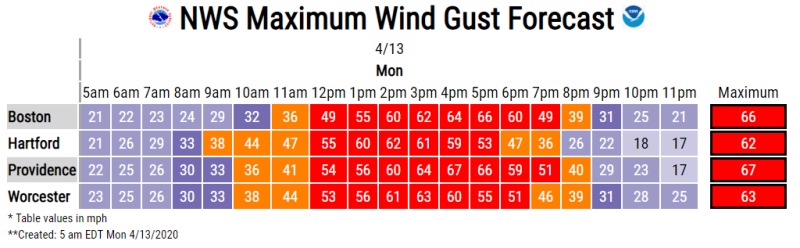
The area will experience south winds 25 to 40 mph with gusts up to 75 mph possible in portions of northern Connecticut, central, eastern, northeastern, southeastern and western Massachusetts and northern and southern Rhode Island.
The High Wind Warning is in effect from 3:00pm until 11:00 p.m. Monday night.
National Weather Service photo.
Damaging winds could blow down trees and power lines. We could see scattered and widespread power outages throughout the day so be sure to charge your electronic devices. Travel could be difficult so use caution if you must drive, especially for high profile vehicles.
The National Weather Service recommends fastening loose objects or shelter objects in a safe location prior to the onset of winds.
People should avoid being outside in forested areas and around trees and branches. If possible, remain in the lower levels of your home during the windstorm, and avoid windows.