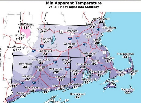
National Weather Service issues Blizzard Warning starting 1am Thursday
BLIZZARD WARNING IN EFFECT FROM 1 AM THURSDAY TO 1 AM EST FRIDAY.
* WHAT…Blizzard conditions expected. Travel will be very dangerous. Expect damage to trees and power lines as well. Total snow accumulations of 7 to 10 inches, with localized amounts up to 14 inches, are possible. Expect 4-7 inches across the Vineyard and the upper Cape.
* WHERE…coastal Essex and portions of southeastern Massachusetts as well as Block Island in Rhode Island.
* WHEN…From 1 AM Thursday to 1 AM EST Friday.
* ADDITIONAL DETAILS…Winds gusting as high as 60 to 70 mph will cause whiteout conditions in blowing snow. Significant drifting of the snow is likely. Widespread power outages are possible.
PRECAUTIONARY/PREPAREDNESS ACTIONS…
A Blizzard Warning means severe winter weather conditions are expected or occurring. Falling and blowing snow with strong winds and poor visibilities are likely. This will lead to whiteout
conditions, making travel extremely dangerous. Do not travel. If you must travel, have a winter survival kit with you. If you get stranded, stay with your vehicle. The latest road conditions for
the state you are calling from can be obtained by calling 5 1 1.